
For Chanmi Lee, data has always been more than numbers on a screen. It’s a language—a way to give voice to people and places that too often go unheard.
That perspective guided her this summer as she worked remotely with the NASA DEVELOP National Program, a research initiative that uses satellite data to address community challenges like air quality and public health. Through the program, Lee applied satellite imagery to examine air pollution and asthma in Texas. The experience built on her long-standing interest in using mapping and data as a tool for community health research.
“I wanted to use Geographic Information Science (GIS), which I studied in college, to give a voice to those who are underrepresented or cannot speak for themselves,” she says. “With that motivation, I continued to study and took part in research projects, and step by step, I naturally found my way into the field of public health data science.”
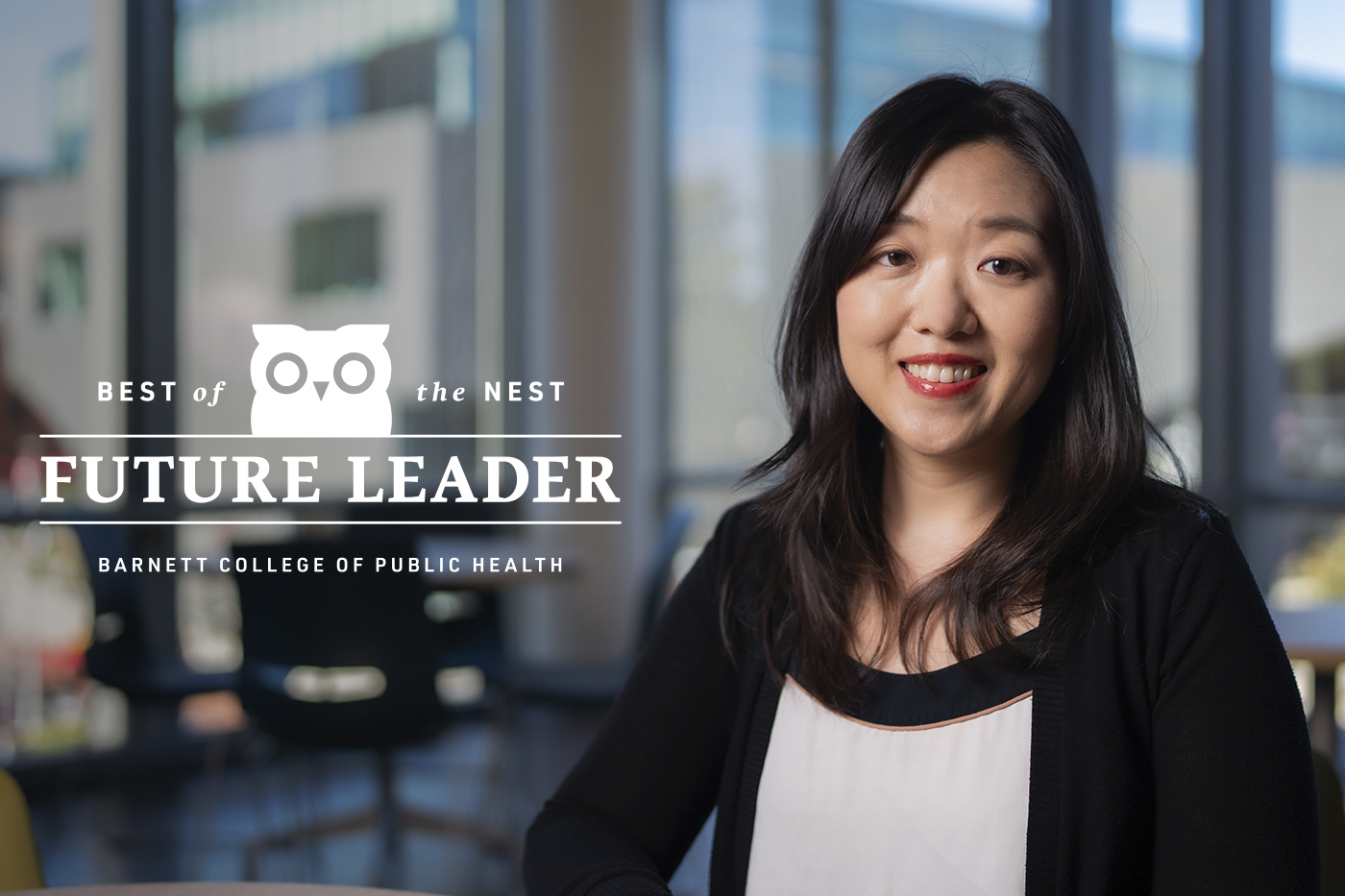
Now a master’s student in Temple University’s College of Public Health, Lee is part of a new generation of scholars using data to reveal how neighborhoods shape health. “Public health data science allows us to analyze health-related data and identify underlying phenomena and patterns,” she explains. “It enables us to scientifically understand not only which individuals or populations, but also which neighborhoods are suffering or facing hardship.”
Over the past two years, Lee has assisted Dr. Krista Schroeder on studies linking childhood experiences and obesity, and Dr. Inkyu Han in the Human Exposure Assessment Lab (HEAL) on research into microplastic exposure. “Participating in these professors’ research has been a valuable experience that allowed me to glimpse into each of their worlds as scholars,” Lee says. “Through my work as a research assistant, I was able to see how the parts I contributed were connected with other research processes and came together to form a single, cohesive study.”
For Lee, the most exciting part of her field lies in the perspective it offers. “What I find most fascinating about combining data, geography, and public health is that this perspective provides a view similar to that of a bird’s-eye view,” she says. “It allows us to step back and examine how multiple factors interact and influence one another at the neighborhood or place level.”
At NASA’s Ames Research Center, Lee joined a 10-week project using satellite imagery to assess air pollution and its relationship to asthma in Harris County, Texas. “What I am most proud of is that the findings of this project help address disparities experienced by residents in certain neighborhoods,” she says. A public flyer from the project will be distributed through the county’s mobile health clinics and incorporated into ongoing research reports. “I am proud that the outputs we delivered will benefit residents and provide a meaningful dataset for future work.”
Lee’s commitment to using data for good has deep personal roots. “I am from South Korea, and my maternal family were refugees who fled from North Korea during the Korean War,” she says. “I grew up hearing stories of people living under oppressive social and political conditions.”
Those early stories shaped her purpose. “With an interest in listening to those who have been silenced or marginalized, I wanted to pursue research that helps people who live in environments where it is difficult to raise their voices,” she says. “Over time, this interest deepened and evolved, eventually leading me to the field of public health and research aimed at amplifying the voices of underrepresented populations facing health challenges.”
“I hope to be remembered as someone who, through research or other forms of communication from a geospatial public health perspective, brings to light the stories of people who are overlooked or facing challenges,” she says. “I hope my efforts can serve as a seed or a small ripple that brings positive change, even in a small way, for underrepresented populations at public health risk.”